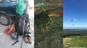
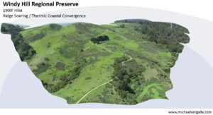
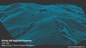
Using advanced photogrammetry software and cloud computing 3d-models of terrain can be captured and compared in a time series to monitor changes. Here are some examples.
Capturing these models requires flying and taking pictures with intention. While this could be done with a drone or helicopter, paragliding provides a unique non-invasive platform for conservation research.